Cientos de mujeres de Santa María Coapan, una comunidad del central estado mexicano de Puebla, participaron este domingo en la tradicional Carrera de la...
- 24/08/2009 02:00
PANAMA. Every year people living close to the coast endure the same predicament: hurricane season. From June 1 to November 30 almost every week the news carries issues a weather warning in the name of a, male or female.
Panama, with its privileged geographical position, is usually safe from the onslaught of powerful winds that wreak havoc on the nearby Caribbean islands, Central America and the US east coast.
This season began quietly but it later exploded with the arrival of “Ana”,”Claudette”, and “Bill”.
Scientists have predicted a low activity season this year due to the El Niño Phenomenon.
The National Oceanic and Atmospheric Administration (NOAA) is forecasting between seven and eleven tropical storms this season.
Of this count, three or four could become hurricanes with at least one turning into a monster of great intensity.
Panama, the southern most country of Central America , is located between latitudes 7 and 10 of the northern hemisphere, south of the hurricane forming area.
Cesar Osorio, from a local electrical transmission company, ETESA, explained that hurricanes move from east to west, spinning to the right.
They move towards the north avoiding landfalls on Panama. However, this does not make Panama immune to their force.
Meteorologist Annete Quinn says that hurricanes do not come close to Panamanian coast due to its latitude and a centrifugal deflection effect called the Coriolis force
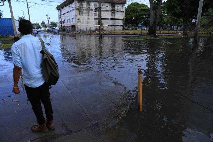
Although hurricanes may not touch Panama coasts, they affect it with a tail of strong residual winds and copious rains. However, there is precedent of hurricanes coming close to Panama.
In 1969, “Marta” cruised along Panama's Caribbean coast, it did not cause much damage but left us with the knowledge such thing can happen anytime.
In October 1998, “Mitch” emerged in the same area causing floods and heavy rains in Chiriqui, Veraguas and Darien.
The origin of the term has several explanations.
The Mayan god “Huranken” created the earth blowing his breath over the waters.
Quechua Indians, named the thunder and storms divinity “Hurakan”.
Hurricanes form as low pressure zones spawning tropical storms that gain intensity from warm ocean temperatures.
They form between latitudes 5 and 20 north and south of the equator.
They usually begin front of the Cape Vert islands and reach America by their rotating force, always moving east.
To eliminate confusion when there are multiple storms, scientist have elaborated a 23 name list that goes from A to W.
The list is used in rotation and each year the name of particularly destructive hurricanes are retired and new ones are added to the list.
Hurricane damage results from three primary causes. Ninety percent of all hurricane deaths can be attributed to the storm surge, the dome of water created by the low pressure center of a hurricane.
The storm surge quickly floods low-lying coastal areas with anywhere from one meter for a category one storm to over 6 meters of storm surge for a category five storm.
Another factor is wind force. The strong (at least 119 kilometer an hour), winds of a hurricane can cause widespread destruction far inland of coastal areas, destroying homes, buildings, and infrastructure.
Last but not least, freshwater flooding can cause damage. Rain can engorge rivers and streams, causing massive flooding.
Panama’s civil protection agency has an enabled line *335 to report emergencies.


